한반도 세부 지도 일러스트 ai 다운로드 download Korean Peninsula Map Vector에 대한 이미지 소스 공유 안내입니다. 반드시 본문의 내용을 읽고 이용해주시며, 사용과 다운로드와 관련된 규정은 하단의 이용약관을 확인해주시길 바랍니다.
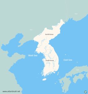
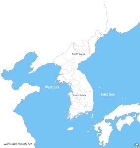
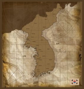
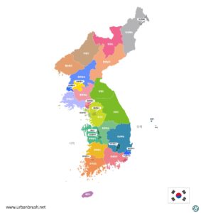
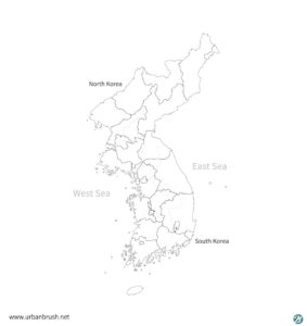
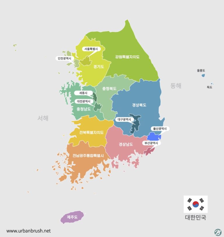
[KR] 안녕하세요. 어반브러시의 Master Creator Tommy입니다. 아래 이미지는 한반도 세부 지도 일러스트 ai 다운로드 샘플입니다. 남한과 북한 전체의 한반도 지도와 지명 등을 포함한 이미지를 표현한 일러스트 이미지입니다. 한반도 전체의 세부 행정 구역을 묘사한 일러스트 이미지입니다. 대한민국, 한국, 남한, 북한, 지도 등과 관련된 카테고리에서 활용하기 적합한 일러스트 이미지입니다. 한반도 세부 지도 일러스트 ai 다운로드 일러스트 벡터파일을 다운받아 지도와 관련된 디자인물에 활용해보세요.
[EN] Hi. This is Urban Brush's Master Creator Tommy. The image below is a sample of detailed map illustration ai download of the Korean Peninsula. Illustrated images expressing images including maps and geographical names of the entire South and North Korea. This is an illustrative image depicting the detailed administrative divisions of the entire Korean peninsula. This is an illustration image suitable for use in categories related to Korea, South Korea, South Korea, North Korea, and maps. Detailed Map of the Korean Peninsula Illustration ai Download Download the illustration vector file and use it for map-related designs.
» 추천 카테고리 : 지도, 대한민국 지도, 남한 지도, 북한 지도, 한반도 지도